Cyclades Sailing Map: Routes, Distances & Travel Times (2026 Guide)
A practical guide to Cyclades sailing routes, island distances, travel times, and realistic itinerary planning in Greece.
Planning a sailing trip in the Cyclades looks simple on a map. Islands seem close, routes look easy, and everything feels within reach. Then reality shows up.
Distances, wind conditions, and actual travel times make a big difference. What looks like a short hop between islands can take several hours, especially during the summer
Meltemi winds.
This guide breaks down the
Cyclades sailing map, including real routes, distances, and travel times, so you can plan something that actually works.
Cyclades Sailing Map Overview
The Cyclades are spread across the central Aegean Sea, not neatly grouped like a theme park.
Main sailing hubs:
- Mykonos (north, popular starting point)
- Paros & Naxos (central routes, ideal connections)
- Milos (west, more relaxed routes)
- Santorini (south, volcanic coastline & caldera routes)
Important reality:
- Distances are measured in nautical miles, not “Google Maps minutes”
- Routes depend heavily on wind direction
- North-to-south routes are usually easier in summer
Cyclades Sailing Distances & Travel Times
Here are realistic distances and travel times between key islands:
Mykonos → Delos → Rhenia
- Distance: 6–10 nautical miles
- Time: 30–60 minutes
- Conditions: Usually calm
👉
Ideal for relaxed day cruises
Mykonos → Paros
- Distance: ~25 nautical miles
- Time: 2–4 hours
- Conditions: Can be rough in strong winds
👉 Feels short on a map, not always short in reality
Paros → Naxos
- Distance: ~10 nautical miles
- Time: ~1 hour
👉 One of the easiest routes in the Cyclades
Milos → Kleftiko
- Distance: 10–15 nautical miles
- Time: 1–2 hours
👉 One of the best day routes for swimming and caves
Santorini → Ios
- Distance: ~20 nautical miles
- Time: 2–3 hours
👉
Depends heavily on weather
Mykonos → Santorini (Direct Route)
- Distance: 80–100 nautical miles
- Time: 7–10+ hours
👉 Not suitable for a day trip
What Affects Sailing Time in the Cyclades
1. The Meltemi Wind
- Strong northern wind (June–September)
- Can reach 20–30+ knots
- Creates waves in open sea
What this means:
- North → South routes are smoother
- South → North can be slower and rougher
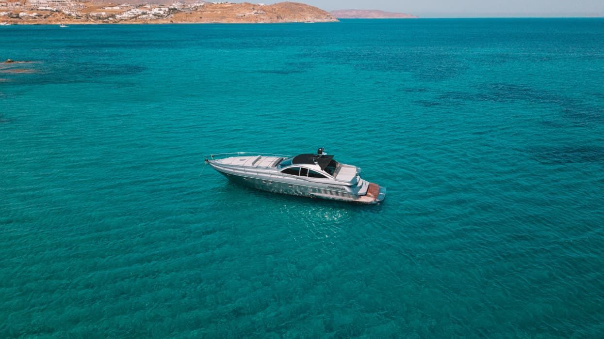
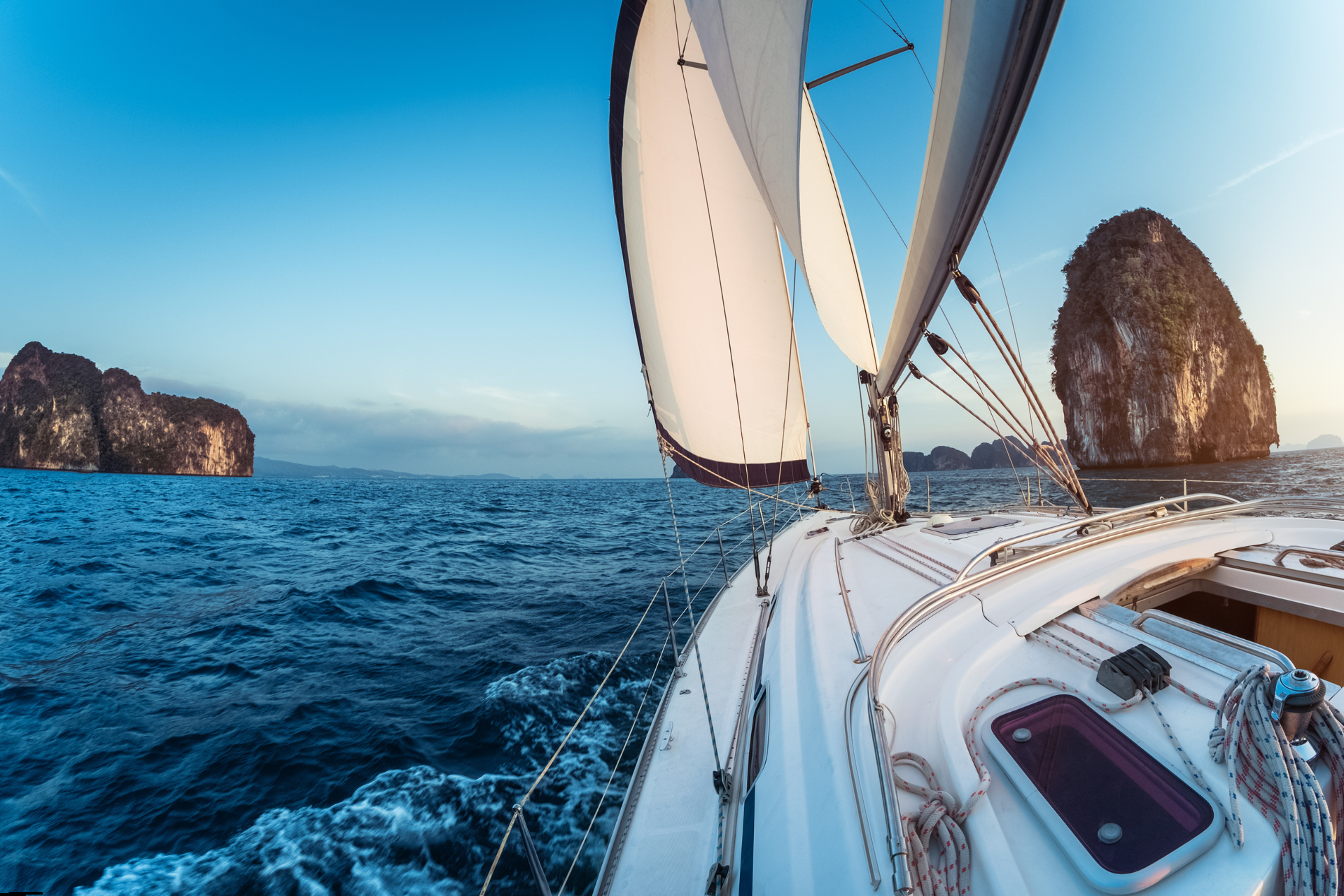
2. The Type of the Boat
- Catamarans → stable, comfortable
- Motor yachts → faster, less affected by wind
- Sailing yachts
→ traditional, more weather-dependent
3. Route Design
Good routes:
- Short distances
- Protected waters
- Logical stop sequence
Bad routes:
- Long open crossings
- Trying to visit too many islands, ignoring weather conditions
Best Cyclades Sailing Routes (Realistic Options)
✔️ Easy Day Routes
- Mykonos → Delos → Rhenia
- Milos → Kleftiko
- Santorini → Caldera
✔️ Multi-Day Routes
- Mykonos → Paros → Naxos
- Paros → Antiparos → Small Cyclades
✔️ Full Cyclades Experience
- Mykonos → Paros → Naxos → Ios → Santorini
- 👉 Requires proper planning and multiple days
Longer routes require more planning, which is why many travelers start by exploring the available
private yacht charter options before choosing their ideal Cyclades itinerary.
Cyclades Sailing Tips (That Save Your Trip)
- Choose fewer islands, better experience
- Plan based on wind, not just distance
- Avoid long crossings on short trips
- Trust realistic itineraries, not Instagram
Frequently Asked Questions
→How far is Mykonos from Santorini by boat?
Around 80–100 nautical miles, which usually takes 7 to 10+ hours depending on conditions.
→Can you visit multiple Cyclades islands in one day?
Yes, but only if distances are short and routes are well planned.
What is the easiest sailing route in the Cyclades?
Routes around Mykonos, Delos, Rhenia, and between Paros and Naxos are among the easiest.
When is the best time to sail in the Cyclades?
May, June, and September offer calmer conditions and fewer crowds compared to peak summer.
Conclusion
The Cyclades may look compact on a map, but sailing here requires realistic planning. Distances, wind, and route design all play a role in shaping your experience.
Understanding how the Cyclades sailing map actually works helps you avoid long, uncomfortable crossings and focus on what matters. Enjoying the journey.
Ready to plan your route? Contact us to find the right yacht and itinerary for your trip.
Aegean Yachting Blog